Geocaching on Moel Famau
What is Geocaching?
“Geocaching is a real-world, outdoor treasure hunting game using GPS-enabled devices. Participants navigate to a specific set of GPS coordinates and then attempt to find the geocache (container) hidden at that location.” Source: geocaching.com
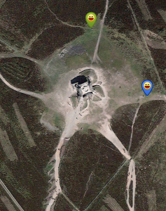
There are two geocaches at the summit of Moel Famau, making the walk to the top even more worthwhile. At the time of writing they have 55 “favourite points” between them.
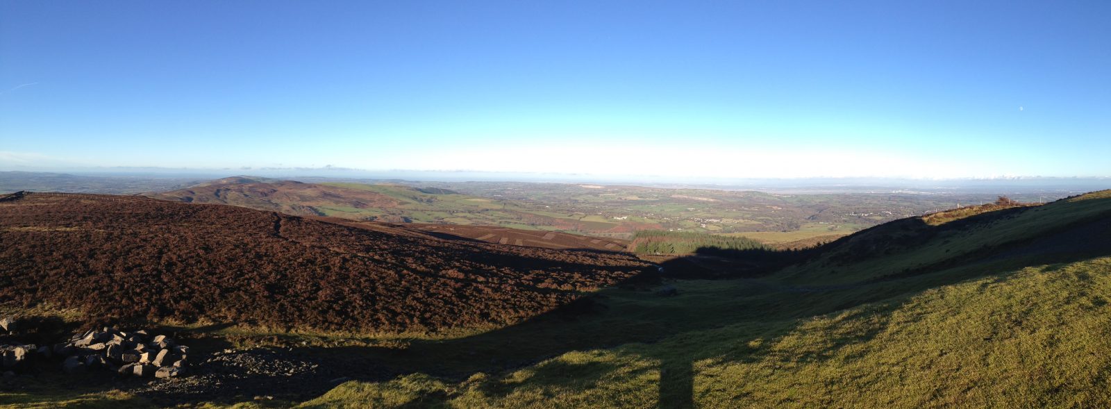
Much of the North West of England and Wales can be seen from the peak. This includes parts of Cheshire, Merseyside, Denbighshire and Flintshire. On clear days Snowdonia can be seen to the west, the Irish Sea to the north, and to the east Liverpool, Chester, Winter Hill and the Blackpool Tower.
I walked up with my girlfriend, starting from the Bwlch Pen Barras car park. This is one of the easier paths and is just over a miles walk from the summit. It was a crisp, clear day, although earlier showers meant that the ground underfoot was a bit slippery. Moel Famau means “Mother Mountain” in English and at 1818ft it is the highest summit in the Clwydian Range.
The Country Park is an AONB (Area of Outstanding National Beauty) and from the trail you can see several well preserved Iron Age Hill Forts. We were also fortunate enough to see paragliders launching themselves from the side of the hill.
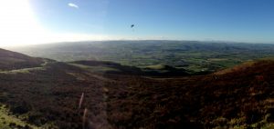
A model aeroplane buzzed overhead, performing barrel rolls and loops. With so much to take in, we soon reached the ruins of the Jubilee Tower.
The tower was built to commemorate the Golden Jubilee of George III in 1810. It was designed like an Egyptian obelisk with three tiers. Although the foundation stone was laid in 1810, the tower was never completed due to a lack of funds. In 1862, a major storm brought down the incomplete tower. The remaining upper part of the structure was demolished for safety reasons leaving just the base.
We sat on the monument for a rest and opened up the Groundspeak app I use for geocaching on my Samsung Galaxy S5. I find the smart phone works perfectly well, but at some point I might invest in a dedicated GPS device. The onscreen compass pointed me in the right direction and I was soon counting down the distance to Ground Zero.
I knew from logs that the container had been relocated recently, so there was a chance I would not be able to find it. I soon spotted something that looked out of place and sure enough it was the cache. I signed the log and returned it to its hiding place.
The second cache available here is an EarthCache. To log an EarthCache, you have to answer questions by observing the geological features around you. All we had to do to log this one, was message the cache owner with the height of the “trig point” and describe the colour of stones used to build the monument!
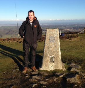
If you would like to give geocaching a try yourself, the geocaching.com website is a good starting point. It tells you about the types of cache available and how to find them. I would recommend getting a few easy finds elsewhere before attempting geocaching on Moel Famau, but this is an excellent walk regardless.
The standard cache we found was “Moel Famau Summit” by hillhiker1 (GCTMTC) and the EarthCache was “Offa’s Dyke Path 3 – Moel Famau” by Clwydian Ranger (GC2EX12).





Leave a Reply